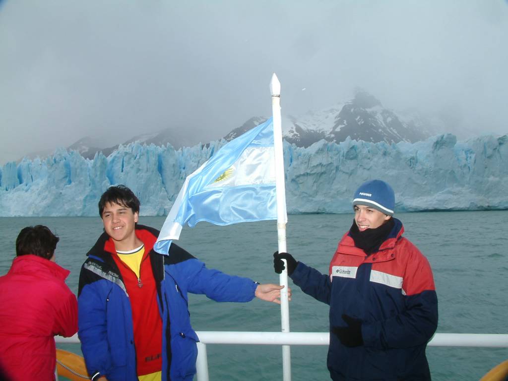
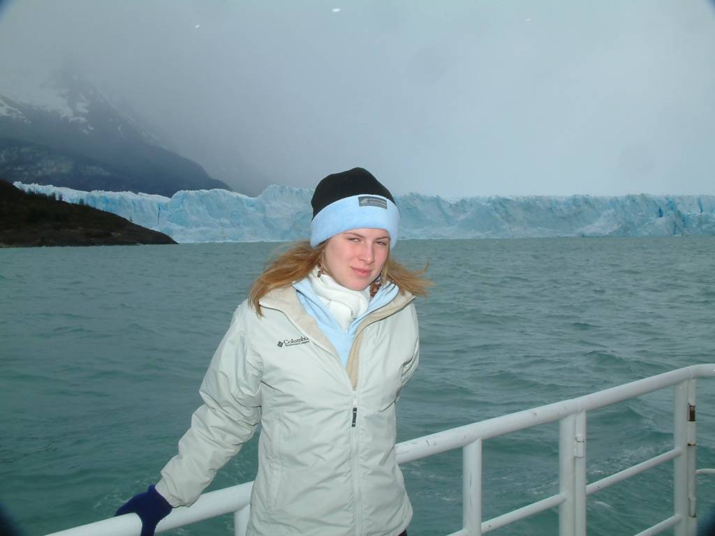
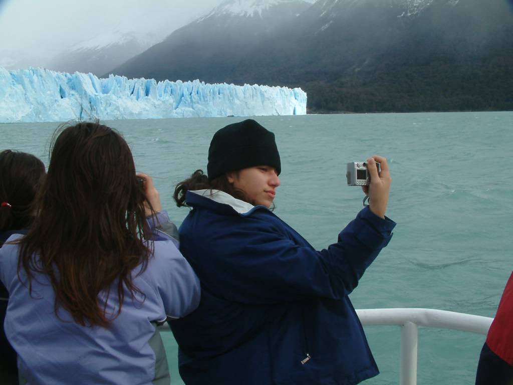
What is a Glacier?
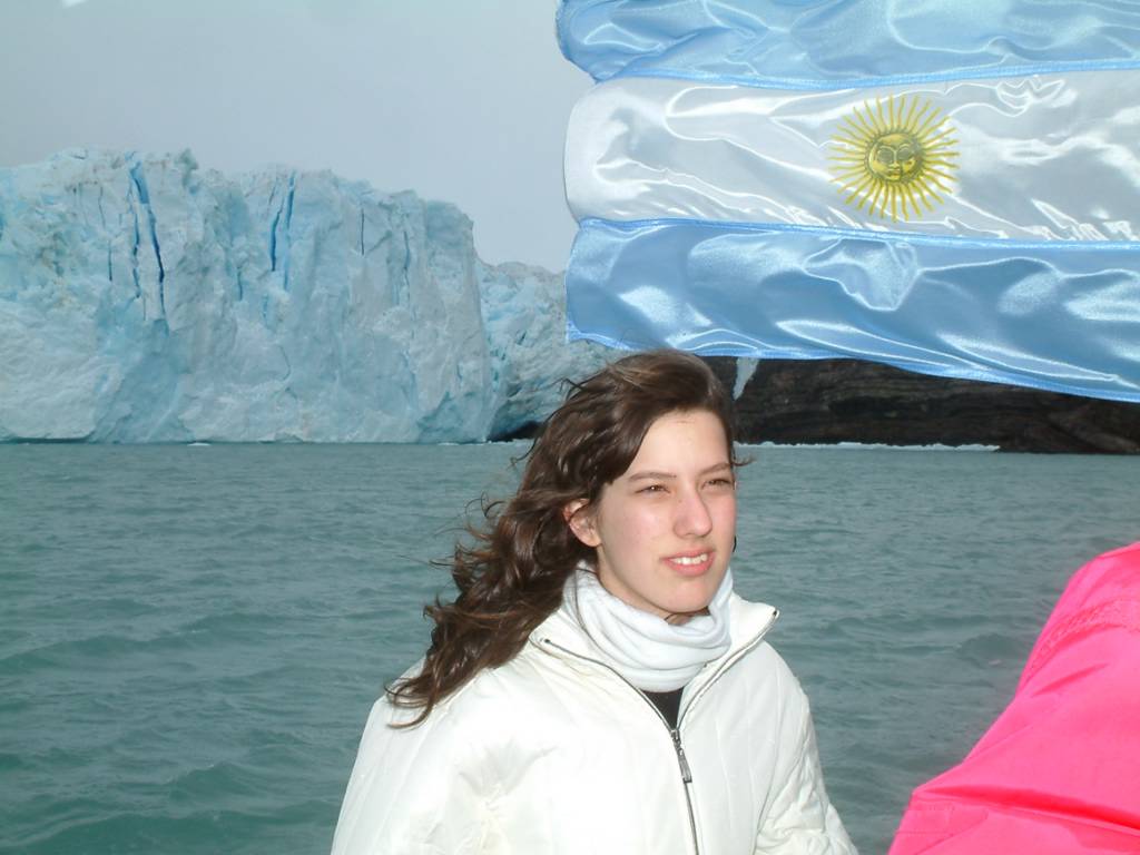
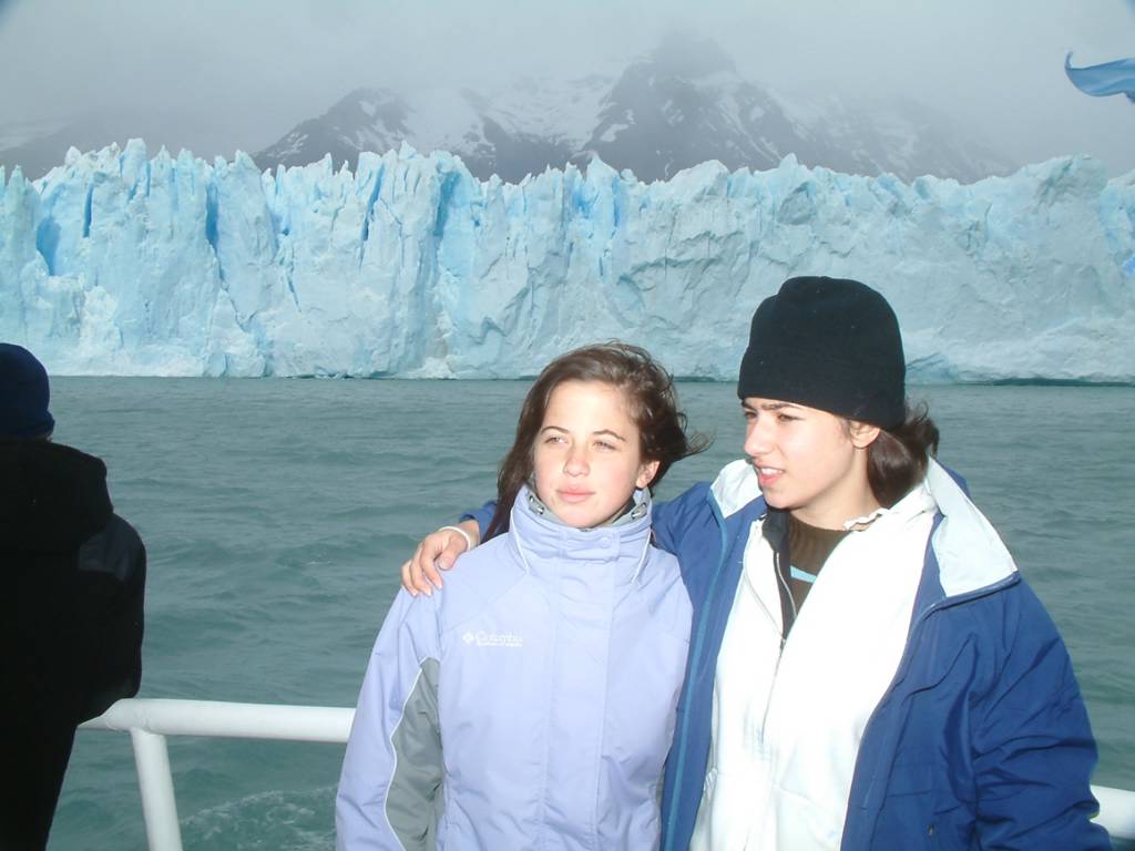
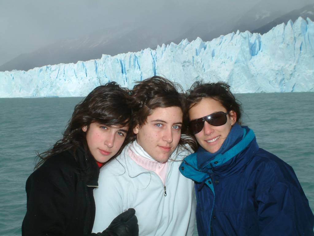
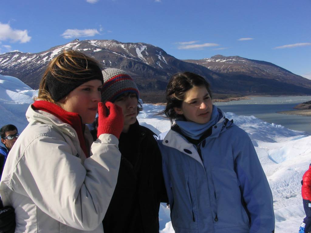
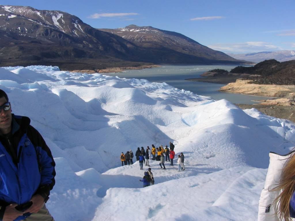
A glacier is a large, long-lasting river of ice that is formed on land and moves in response to gravity. Equivalently, it is a multi-year ice accretion in mountainous terrain. The glacier fringe is the area where the glacier has recently melted. There are two main types of glaciers: alpine glaciers, which are found in mountain terrains, and continental glaciers, which are associated with ice ages and can cover large areas of continents. Glacier ice is the largest reservoir of fresh water on Earth, and second only to the oceans as the largest reservoir of total water. Glaciers are found on every continent except Australia. Most of the concepts in this article apply equally to alpine glaciers and continental glaciers.
Geologic features associated with glaciers include end, lateral and medial moraines that form from glacially transported rocks and debris; U-shaped valleys and cirques (cwms) at their heads.
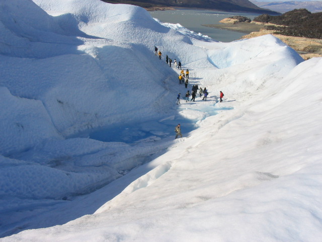
The snow from which glaciers form is subject to repeated freezing and thawing, permitting the formation of a form of granular ice called nevé. Under the pressure of the layers of ice and snow above it, this granular ice fuses into solid glacial ice. Glacial ice contains minute air bubbles as a result, giving it a distinctive blue tint due to Rayleigh scattering. The lower layers of glacial ice flow and deform plastically under this pressure, allowing the glacier as a whole to move slowly like a viscous fluid. Glaciers do not need a slope to flow, being driven by the continuing accumulation of new snow at their source. The upper layers of glaciers are more brittle, and often form deep cracks known as crevasses as they flex. These crevasses make travel over glaciers dangerous. Glacial meltwaters flow throughout and underneath glaciers, carving channels in the ice similar to caves in rock and also helping to lubricate the glacier's movement. In the summer, the melted ice from the glacier alone may be enough to create a stream and whilst the glacier may be a barren waste of dense ice, fertile land is often nearby.
The upper part of a glacier that receives most of the snowfall is called the zone of accumulation. The snowfall here creates a sufficient depth of ice to exert a downward force sufficient to cause deep erosion of rock in this area. This often leaves a bowl or amphitheater-shaped depression called a cirque. On the opposite end of the glacier, at its foot or terminal, is the zone of deposition (also called the zone of wastage or the zone of ablation) where upward and lateral forces predominate and deposition of sediment occurs. Between these two zones is the line of equilibrium where the downward erosive forces of the zone of accumulation and the upward deposition forces of the zone of deposition cancel. Erosive lateral forces are not canceled; therefore, glaciers turn v-shaped river-carved valleys into u-shaped glacial valleys.
Glacial moraines are formed from the deposition of material from a glacier and are exposed after the glacier has retreated. These features usually appear as linear mounds of till, which is a poorly-sorted mixture of rock, gravel and boulders that are within a matrix of a fine powdery material. Terminal or end moraines are formed at the foot or terminal end of a glacier, lateral moraines are formed on the sides of the glacier, and medial moraines are formed down the center. Less obvious is the ground moraine which often blankets the surface underneath much of the glacier downslope from the line of equilibrium. Other features formed by glacial deposition include distinctive streamlined hills known as drumlins, and long snake-like ridges formed by streambeds under glaciers, known as eskers. Glacial meltwaters contain rock flour, an extremely fine powder ground from the underlying rock by the glacier's movement.
So-called "stoss and lee erosional features" are formed by glaciers and show the direction of its movement. Long linear rock scratches (that follow the glaciers's direction of movement) are called glacial striations and divots in the rock are called chatter marks. These two features are both left on the surfaces of stationary rock that were once under a glacier and were formed when loose rocks and boulders in the ice were transported over the rock surface. Transport of fine-grained material within a glacier can smooth or polish the surface of rocks, leading to glacial polish. Glacial erratics are rounded boulders that were left by a melting glacier and are often seen perched precariously on exposed rock faces after glacial retreat.
Geologic features associated with glaciers include end, lateral and medial moraines that form from glacially transported rocks and debris; U-shaped valleys and cirques (cwms) at their heads.
The snow from which glaciers form is subject to repeated freezing and thawing, permitting the formation of a form of granular ice called nevé. Under the pressure of the layers of ice and snow above it, this granular ice fuses into solid glacial ice. Glacial ice contains minute air bubbles as a result, giving it a distinctive blue tint due to Rayleigh scattering. The lower layers of glacial ice flow and deform plastically under this pressure, allowing the glacier as a whole to move slowly like a viscous fluid. Glaciers do not need a slope to flow, being driven by the continuing accumulation of new snow at their source. The upper layers of glaciers are more brittle, and often form deep cracks known as crevasses as they flex. These crevasses make travel over glaciers dangerous. Glacial meltwaters flow throughout and underneath glaciers, carving channels in the ice similar to caves in rock and also helping to lubricate the glacier's movement. In the summer, the melted ice from the glacier alone may be enough to create a stream and whilst the glacier may be a barren waste of dense ice, fertile land is often nearby.
The upper part of a glacier that receives most of the snowfall is called the zone of accumulation. The snowfall here creates a sufficient depth of ice to exert a downward force sufficient to cause deep erosion of rock in this area. This often leaves a bowl or amphitheater-shaped depression called a cirque. On the opposite end of the glacier, at its foot or terminal, is the zone of deposition (also called the zone of wastage or the zone of ablation) where upward and lateral forces predominate and deposition of sediment occurs. Between these two zones is the line of equilibrium where the downward erosive forces of the zone of accumulation and the upward deposition forces of the zone of deposition cancel. Erosive lateral forces are not canceled; therefore, glaciers turn v-shaped river-carved valleys into u-shaped glacial valleys.
Glacial moraines are formed from the deposition of material from a glacier and are exposed after the glacier has retreated. These features usually appear as linear mounds of till, which is a poorly-sorted mixture of rock, gravel and boulders that are within a matrix of a fine powdery material. Terminal or end moraines are formed at the foot or terminal end of a glacier, lateral moraines are formed on the sides of the glacier, and medial moraines are formed down the center. Less obvious is the ground moraine which often blankets the surface underneath much of the glacier downslope from the line of equilibrium. Other features formed by glacial deposition include distinctive streamlined hills known as drumlins, and long snake-like ridges formed by streambeds under glaciers, known as eskers. Glacial meltwaters contain rock flour, an extremely fine powder ground from the underlying rock by the glacier's movement.
So-called "stoss and lee erosional features" are formed by glaciers and show the direction of its movement. Long linear rock scratches (that follow the glaciers's direction of movement) are called glacial striations and divots in the rock are called chatter marks. These two features are both left on the surfaces of stationary rock that were once under a glacier and were formed when loose rocks and boulders in the ice were transported over the rock surface. Transport of fine-grained material within a glacier can smooth or polish the surface of rocks, leading to glacial polish. Glacial erratics are rounded boulders that were left by a melting glacier and are often seen perched precariously on exposed rock faces after glacial retreat.
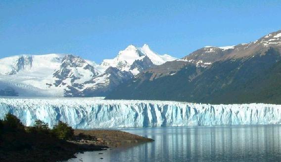
Glaciers may be tens of kilometers in length. Today, they are found on high mountains in equatorial and mid-latitude regions and progressively lower as one approaches the poles. Greenland and Antarctica are heavily glaciated, to the point of being almost entirely covered by ice. Glaciation of this extent is called continental glaciation.
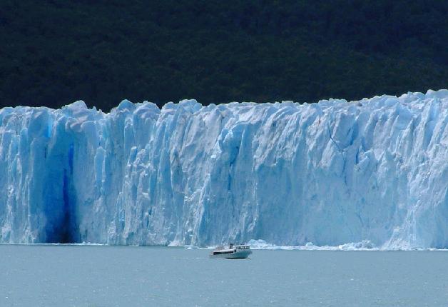
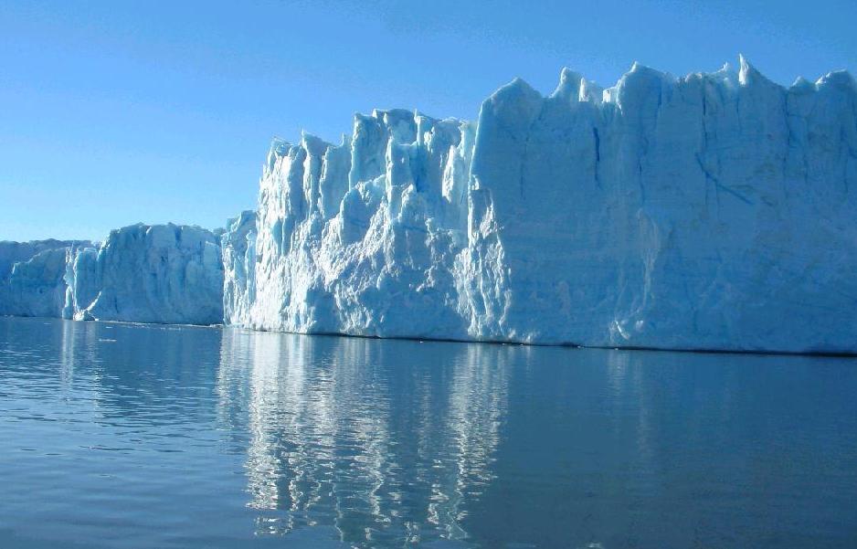
The downstream end of continental glaciers often flows into the sea. As the ice reaches the ocean, it breaks off, forming icebergs. Even in very cold climates, there may be unglaciated areas, which receive too little precipitation to form permanent ice. During ice ages, continental glaciers may be as much as 1500 meters thick. A more extreme instance of glacial growth may have occurred during the Snowball Earth period. In the past several centuries the Earth's glaciers have generally been retreating, often dramatically.
The downstream end of continental glaciers often flows into the sea. As the ice reaches the ocean, it breaks off, forming icebergs. Even in very cold climates, there may be unglaciated areas, which receive too little precipitation to form permanent ice. During ice ages, continental glaciers may be as much as 1500 meters thick. A more extreme instance of glacial growth may have occurred during the Snowball Earth period. In the past several centuries the Earth's glaciers have generally been retreating, often dramatically.
(more information at www.wordiq.com)
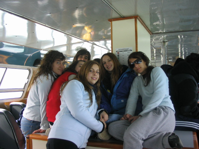
posted by Instituto Cultural Pueblo Blanco @ 5:24 AM
![]()


